
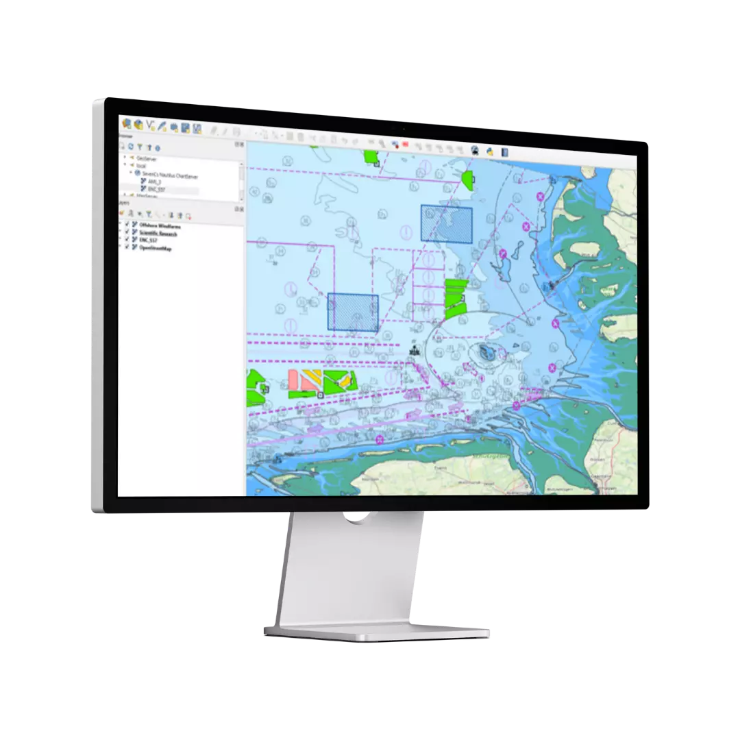
Nautilus ChartServer delivers high-speed, standards-compliant rendering of electronic navigational charts (ENCs) as a reliable foundation for geospatial applications across maritime industries.
Nautilus ChartServer supports a wide range of professional users:
Delivering mission-critical screen updates and highly accurate in vector chart display, essential for Search and Rescue and military applications where performance and precision are critical.
Supports ENCs, private chart collections with the latest Notices to Mariners. Compatible with S-57 / S-63, AML and S-101, with S-102, S-124, DTED, ARINC and CIO+ (ChartWorld Information Overlay) to follow, ensuring flexibility through the dual-fuel S-57/S-100 transition.
Combines multiple data layers from varied sources across web and desktop applications. A centralised chart management system provides a clear onshore overview for monitoring vessel locations and activity across fleets.

If you would like further information about our products & solutions, or would like to speak to an expert about a quotation, head to our contact page.
The two products will co-exist. This is because they are based on different development kernels, with Nautilus ChartServer developed from SevenCs’ Nautilus Software Development Kit (SDK).
Nautilus ChartServer should be seen as a new product, independent of WMS ChartServer.
It is currently planned that Nautilus ChartServer will offer ‘OGC API Feature’ functionality in the first half of 2026.
A new release is planned, including support for OGC API Features and S-102 Bathymetric Surfaces, as well as enhanced handling of AML3.
Nautilus ChartServer will not support ARCS (Admiralty Raster Chart Service). This is primarily because of the non-queryability of ARCS data.
Note that Nautilus Chart Server offers Geotiff functionality for those wishing to work with georeferenced raster data.
We offer an evaluation copy of the Nautilus ChartServer free-of-charge. This enables our customers to check whether the software meets their expectations and technical requirements. Of course, it always depends on the customer use case, the volume of chart data, the power of the server and the number of concurrent client requests to the chart data.
Scalability is offered for Nautilus ChartServer by adding extra servers.


