For many years Portable Pilot Units (PPUs) with SevenCs pilot information systems have been successfully used by a large number of pilot organisations. As a result of this successful collaboration SevenCs has developed a brand new system, called ORCA Pilot G2. It includes the typical functions of a navigation system for touchscreen operation, where own ship and AIS targets are displayed on a background of tailor-made electronic charts – dense bathymetric, port or large scale ENCs. The customised ENC layers are associated with the following features of the PPU software:
- use of large-scale zoom range
- precise distance information
- use of docking mode
- presentation of detailed depth information
- display of available water depths in potential avoidance areas
- display of depth information, including the actual water level
- Integration of web based water level corrections (pegelonline)
- display of additional information
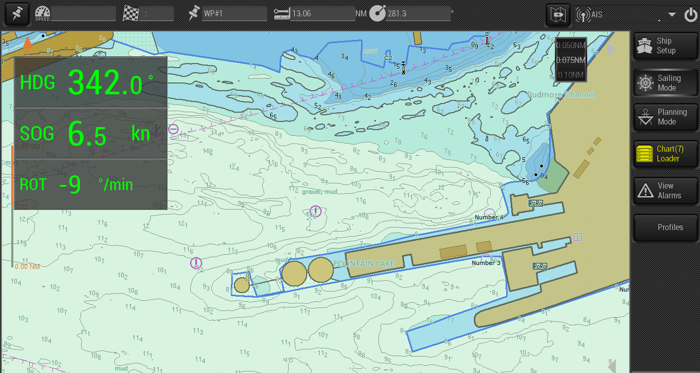
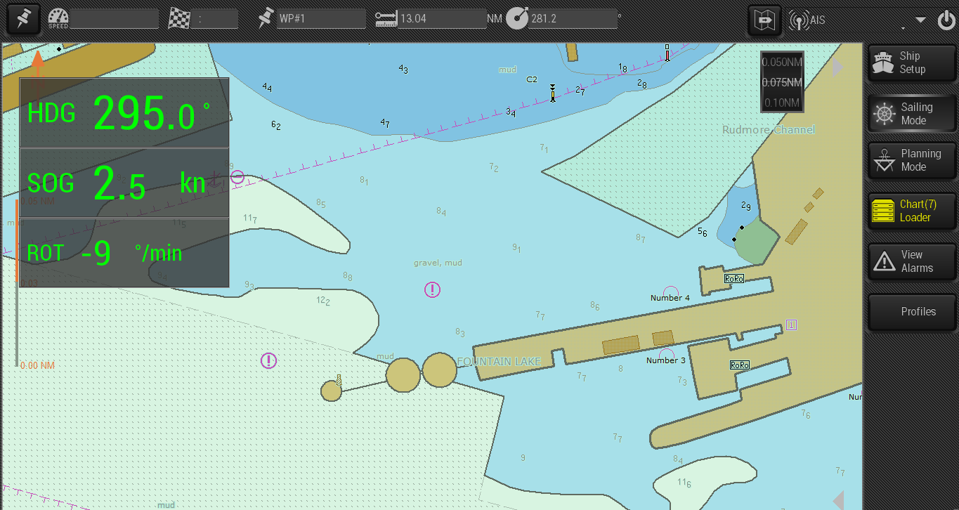
Portsmouth International Port Pilots have been using the SevenCs PPU software since 2012. Ben McInnes, Deputy Harbour Master, comments: “We have received the bENC file and are using it on the PPUs. It really is great to have the additional sounding data and details. The captains onboard do appreciate the additional information that is not available on their own charts, but well displayed on the PPU. We are very pleased! Thanks for all your help on this.”
Many features that constitute the total potential of PPU software simply would not be possible without the implementation of customized highly detailed electronic charts.